

Route Choice is Finally Accessible to Everyone
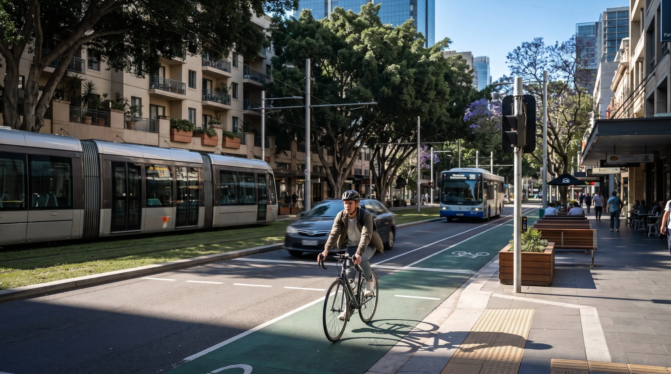
Climate change concerns and the rise of micromobility alternatives have renewed the public interest in non-motorised transport, and planning agencies are rightfully trying to catch up on lost time.
3 min read
Climate change concerns and the rise of micromobility alternatives have renewed the public interest in non-motorised transport, and planning agencies are rightfully trying to catch up on lost time.
Part of this catch up exercise is to develop planning tools (i.e. models) capable of modelling the demand for non-motorised transport and the interaction between people using these modes of transport and the urban infrastructure. Adding these new capabilities to existing models (or building entire new models), however, is a considerable departure from the current modelling practices in most agencies.
The reality is that most of our planning models are designed to answer questions related to road traffic and, to a lesser extent, public transport. They don’t have the necessary resolution to sensibly model travel by non-motorised modes. Most of these models are built with substantial spatial aggregations in the form of Travel Analysis Zones and have a very simplified version of the network where local links are usually removed. These sparser networks and larger TAZs have a disproportionate effect on travel by bicycle, scooter and walking, as these travel by modes tend to be substantially shorter than travel by motorised modes on average. The networks themselves also need different attributes that impact active mode routing decisions (e.g. grade/elevation, traffic speed, presence of separated infrastructure, etc.).
So is it just a matter of rolling up our sleeves and building out more detailed networks to start modelling non-motorised modes? Unfortunately there is slightly more to it than that. Currently most commercial packages available in the market only offer All-or-Nothing assignment to load this demand onto the network and active transport modes don’t respond to congestion in the same way that traffic does so using an equilibrium framework does not make much sense.
Instead, the best approach for modelling active modes is a full route choice with the correct treatment of route overlaps (readers not familiar with the route choice problem can think of path overlap as a correlation between alternative viable routes that basically voids the IIA assumption behind MNL models). This is something that The San Francisco County Transportation Authority (SFCTA) (opens in a new tab) recognized well over a decade ago, and I would highly recommend reading their excellent paper (opens in a new tab) on the topic if you are interested in a deeper technical exploration of route-choice modelling for cycling.
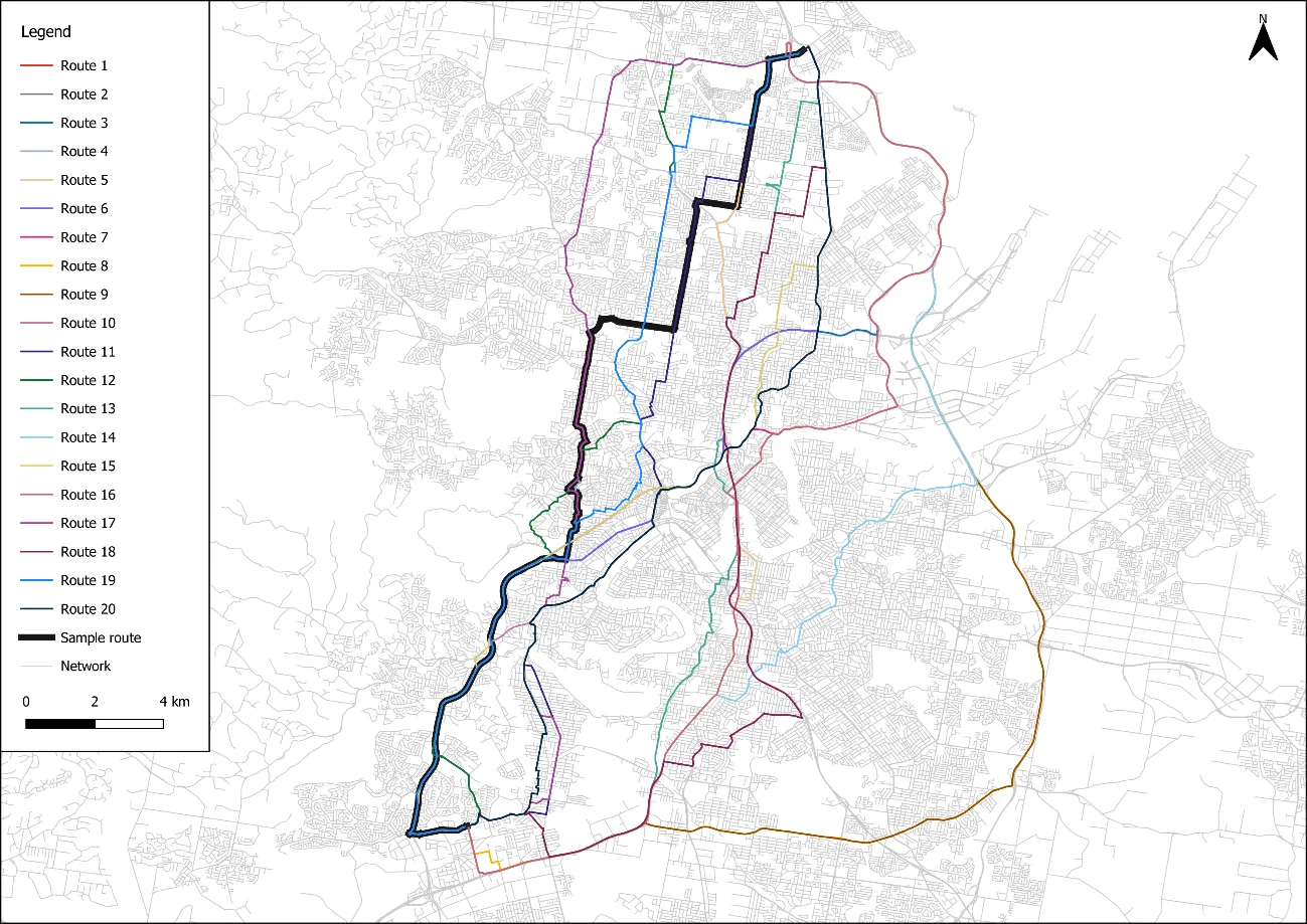
Which leads to today’s exciting announcement - the latest version of AequilibraE (1.1.0, released on 27/07/2024) brings to the modelling community the first high-performance implementation of a route-choice assignment based on the traditional Path-Size Logit. This includes three algorithms for route choice generation, fully-flexible utility functions and the ability to create and save choice sets for model estimation. There is also a simplified technical documentation (opens in a new tab) page and two thorough examples (opens in a new tab) demonstrating the use of the software.
AequilibraE’s ability to efficiently compute paths and choice sets between any two points in the network (and not just centroids) also allows the user create precise choice sets between any two nodes in the network when estimating models based on GPS data, which can be map-matched to the modeling network with the use of mapmatcher (opens in a new tab). This alone is a substantial boost to practice and research and opens the door to point-to-point modelling of active transport travel within traditional transport models.
In addition to active transport modes, this functionality is also a key missing piece for more accurate modelling of long-distance travel (e.g. statewide and nationwide models), an issue I first came across of when developing the California State Freight Forecasting Model (CSFFM) during my PhD, leading me to the development of ReMuLAA. Hopefully that algorithm will become available at some point as well!
Myself, Jan Zill (opens in a new tab) and Jake Moss (opens in a new tab) will be presenting papers covering the entire workflow of map-matching GPS data, generating route choice sets and estimating route choice models at the next ATRF conference this November, in Melbourne (opens in a new tab). Papers should be available soon for download.
Finally, kudos to Jake Moss (opens in a new tab) for doing most of the software development for this new AequilibraE feature and Jamie Cook (opens in a new tab) for contributing to this blog post!